Haleakala National Park (HALE) |
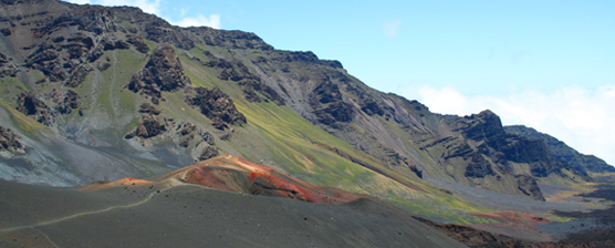
Protected as a national park since 1916, Haleakala National Park now protects nearly 30,000 acres of land on the island of Maui. Within the park 24,719 acres are designated as a Wilderness Area and this land is managed under the Wilderness Act of 1964. Photo courtesy of NPS (www.nps.gov/hale)
Analysis: Area of Potential Restoration for Ischaemum byrone by Evaluating Threats
Flow Charts of Raster and Vector Analyses
Explanation of GIS Concepts and Analyses
Results
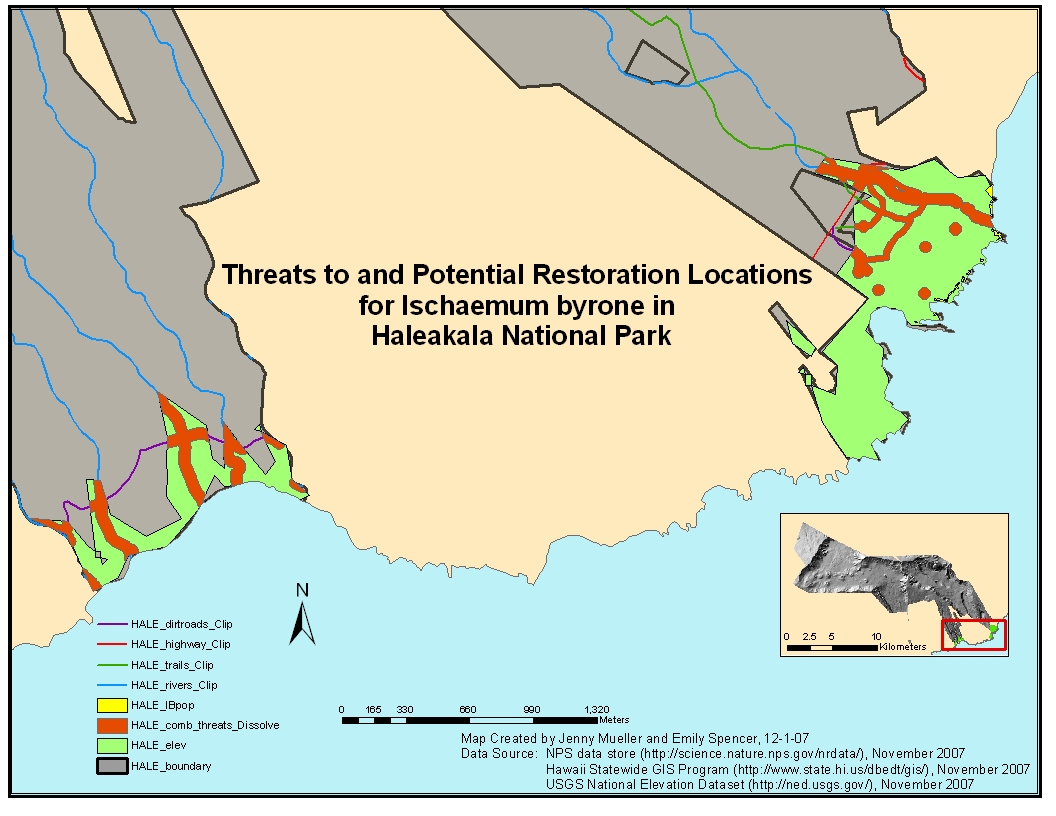
In the map "Threats to and Potential Restoration Locations for Ischaemum byrone in Haleakala National Park," the green layer (HALE_elev) represents the area that meets important habitat criteria of elevation between 0-250 feet (0-76.22 m) for the grass in coastal dry shrublands. The total area that meets the elevation criteria is 265 acres. The orange layer (HALE_comb_threats_dissolve) in the map represents the area containing of all identified buffered threats to the grass. This total area is 61 acres, yielding a potential restoration area of 204 acres.
Conclusions
Ischaemum byrone often grows in substrate from lava flows, especially pahoehoe and a’a lava. These substrates types were not found within the suitable elevation on HALE, and so the suitable habitat for the plant was only based upon the elevation critieria. Approximately 77% of the suitable elevation area within HALE are potential area for restoration of the plant that are not affected by the identified threats. There are current plant populations but no designated critical habitat for the grass in HALE.
In HALE, “threats” were identified as both natural and human-caused activities that could adversely affect current and potential grass populations, such as active lava flows, fire, roads, trails, and developed areas, such as campgrounds and other park infrastructures. The lava flow data from Hakeakala Volcano did not contain any “young” lava flow, or lava flow from the 19th century to present. Data of fire history was not readily available for HALE. Therefore, lava flows and fire were not included in the analysis of threats to potential grass populations. The threats included in the analysis include trails, highway, dirt roads, roads, rivers, campgrounds, and structures, such as visitor center. Each of these threats was buffered by 100 feet, except for trails, which was buffered by 50 feet. These buffer distances seemed appropriate to protect potential plant populations from human activities or flood waters near rivers. The majority of the threats are the buffered highway, dirt roads, rivers, trails, and structures.