
Phenology
Invasive Species
Tulip Gardens
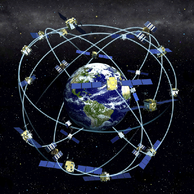
GPS
Introduction to GPS
Getting Started with a GPS Unit:
Press the POWER buttonYou will get the message "wait...tracking satellites" - the unit is waiting to connect to the 3 to 4 satellites that it needs for a position reading. This may take up to 5 minutes
Accuracy: The GPS unit will show the accuracy at the top of the screen when you first turn the unit on.
Ideal accuracy is 3-8 meters in open areas.
Getting a good signal: Moving around, especially in a straight line, helps satellites locate you faster.
If you are in dense canopy, it helps to initially track satellites in a nearby open area, then bring the unit back to the species or population being tracked under the canopy (while it is still on).
To Check or Adjust Settings before Taking a Reading:
- Press the PAGE button until you reach the MENU screen
- Highlight SETUP using the UP/DOWN buttons and then press ENTER
- Repeat this process for the next screen, highlighting UNITS
- Select POSITION FRMT, and using the UP/DOWN buttons, highlight UTM UPS, Press ENTER to select this option
- Select MAP DATUM and using the UP/DOWN buttons, highlight WGS 84, press ENTER
- Select UNITS, and using the UP/DOWN buttons, highlight METRIC, press ENTER
- Select NORTH REF and using the UP/DOWN buttons, highlight TRUE, press ENTER
To take a Reading:
- Press the PAGE button again until you reach the MENU screen
- Highlight MARK using the UP/DOWN buttons
- Hold the GPS unit at a place you want to take a reading for, press ENTER
NOTE: If you are not using a PDA setup, record the reading on your monitoring form. the northerly reading corresponds to latitude (6-digit number), and the westerly reading corresponds to longitude (7-digit number).
- If you press ENTER when "OK" is selected, the GPS unit will automatically create a new waypoint and give it a title such as 001, 002, 003, etc. It may be helpful to write down this waypoint title, to access it later. This way, you can see the coordinates again if you need to check your recording accuracy
To Insert a Previous Location or Create a Waypoint:
In order to relocate an area, you will need to enter the coordinates from a previous monitoring form into the GPS unit. To enter coordinates written on a previous year's monitoring form into the GPS unit, you need to first check the unit's settings and adjust them appropriately so that they reflect the datum and format of the coordinates.
Make sure that you enter the reading according to the format of the coordinates that you want to find - the three most common formats used are decimal degrees, degrees/minutes/seconds, and UTM (see "Types of Data" on the previous page).
To enter the reading in the correct format, follow the instructions listed above under "Check/Adjust Settings."
You can then manually enter the coordinates into the unit by highlighting the fields that you want to edit, and using the number pad on the unit to enter the new coordintates. Click "Mark Waypoint" and you are now ready to navigate to it, or use it in the future.
When you are finished using your GPS unit, do not forget to turn the unit off!
Image Source: National Oceanic and Atmospheric Administration; http://celebrating200years.noaa.gov/